Overview
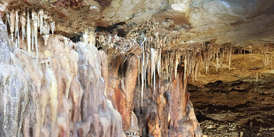
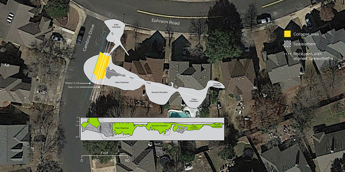
A broken water pipe that caused a sinkhole in a roadway led to the discovery of a 200-foot-long cave that extended under two homes in the Brushy Creek subdivision in Williamson County, TX. The cave presented various concerns to the county and community residents, including the safety of homes, the preservation of the cave, and the need to repair the roadway.
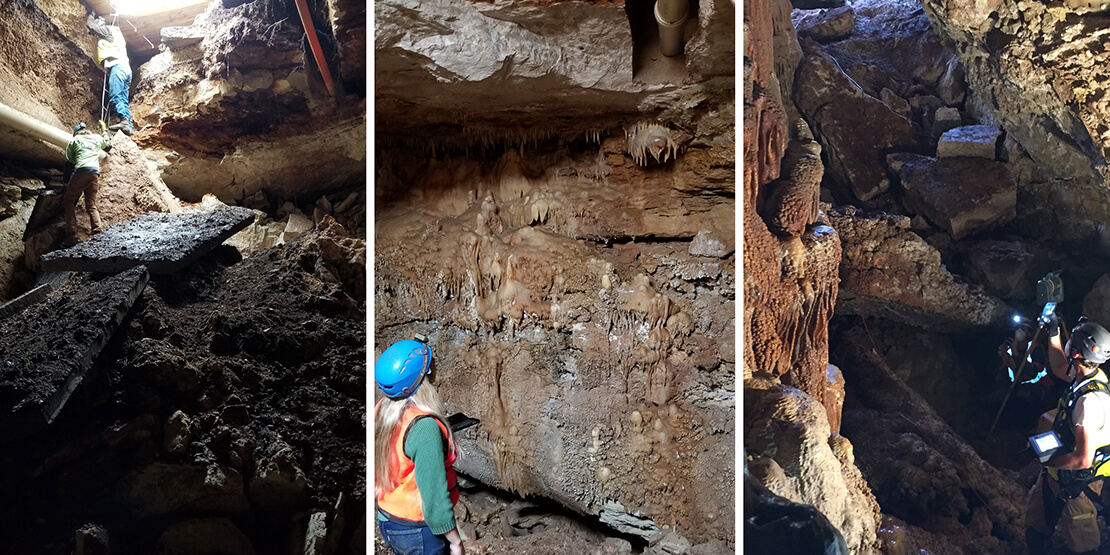
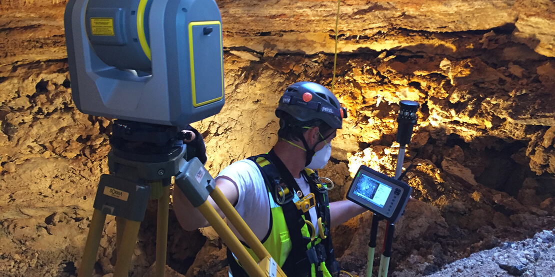
BGE performed a 3D survey of the cave to capture the cave’s dimensions. The team utilized a GPS virtual reference station (VRS) network to establish five control points within the two larger chambers of the cave. 3D mapping was performed with a Trimble SX10 to combine imagery with thousands of LiDAR data points.
From the start of the project, BGE’s safety consultant developed and carefully executed a comprehensive plan to keep the team unharmed during the mapping process. The plan included confined space training for the crew, continuous air monitoring, onsite safety meetings, and personal protective equipment. Team members rotated in and out of the cave in 30- to 45-minute shifts for the duration of the 8-hour process. BGE successfully performed the survey without incident.
BGE’s efforts provided the County not only with useful information to repair the roadway but also a unique view from inside the cave that few people would be able to see otherwise.
Project
Image Gallery
Explore the project gallery to see how our commitment to excellence serves our clients and community.


